Hakan Seven is a Geomatics Engineer and Joel_graff is a Transportation Engineer. We decide to create a workbench for our own needs. So this workbench is being developed to provide functionality specific to Transportation and Geomatics engineering.
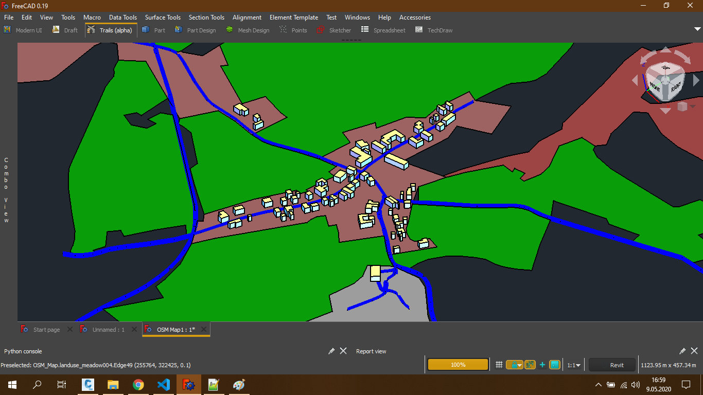
- GIS Tools
- Import Survey Data Files
- Export Point Groups to File
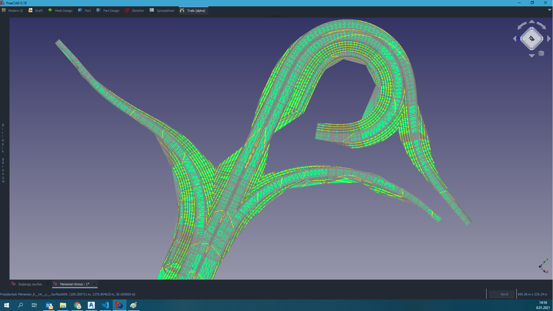
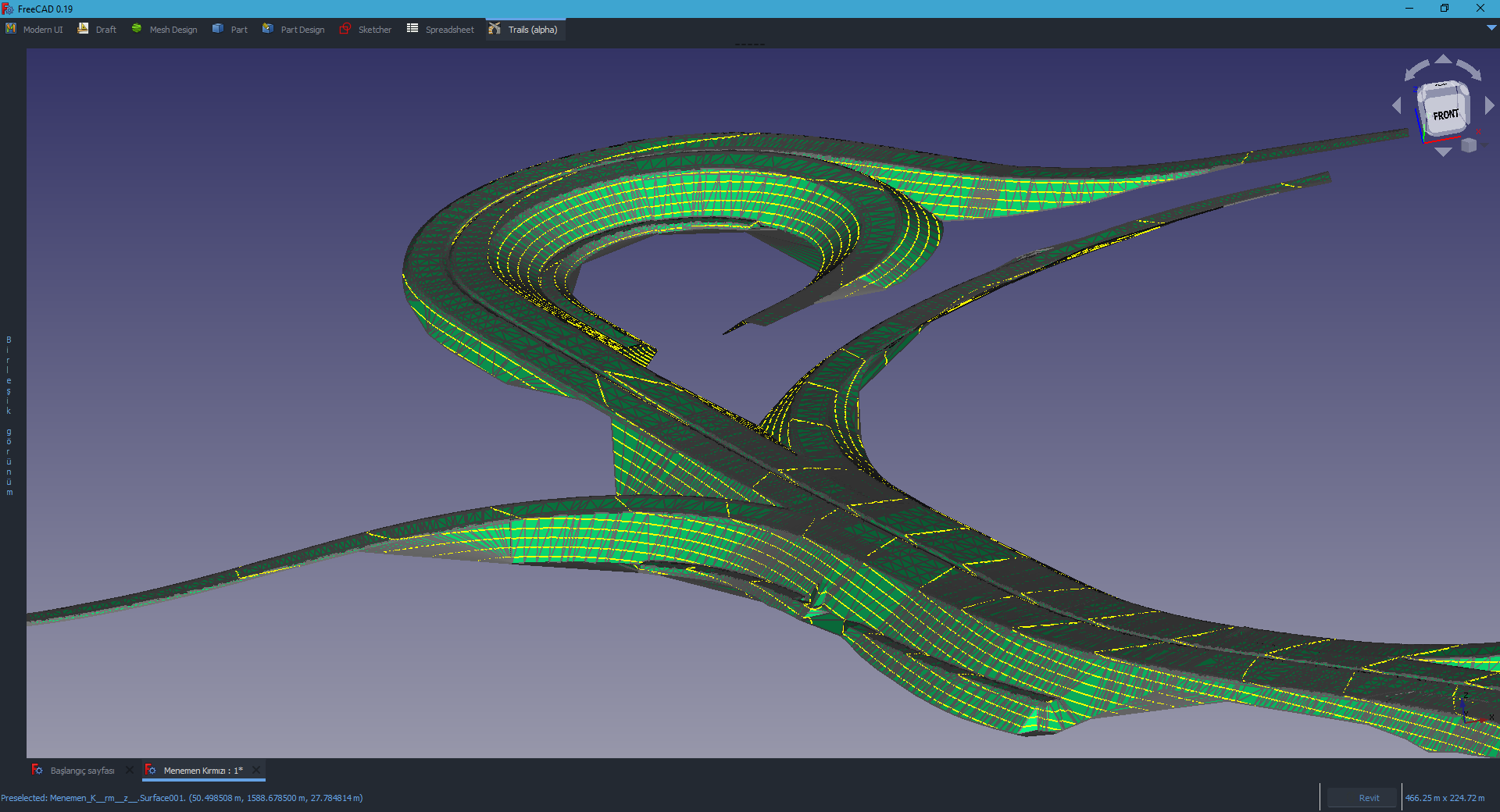
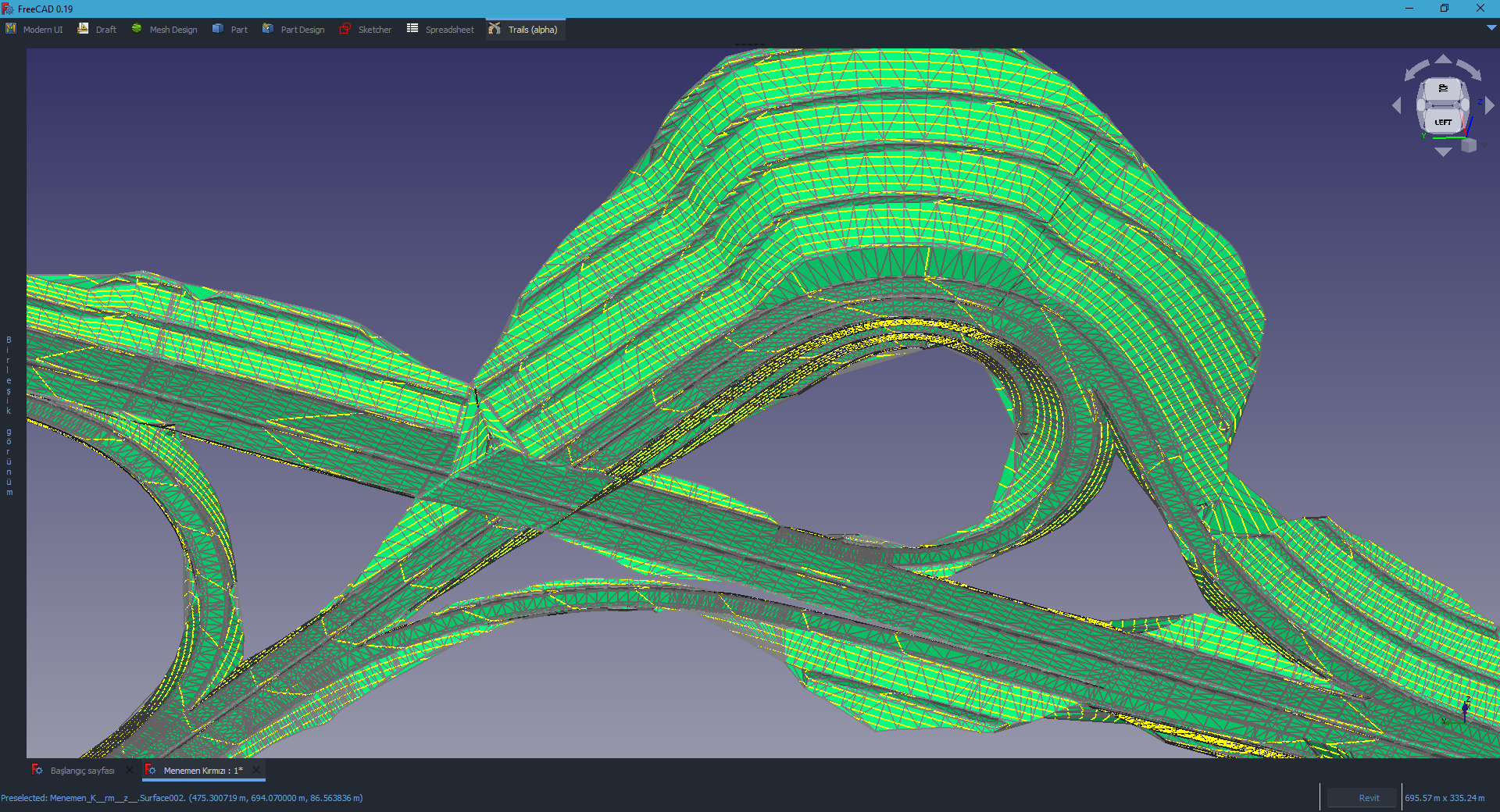
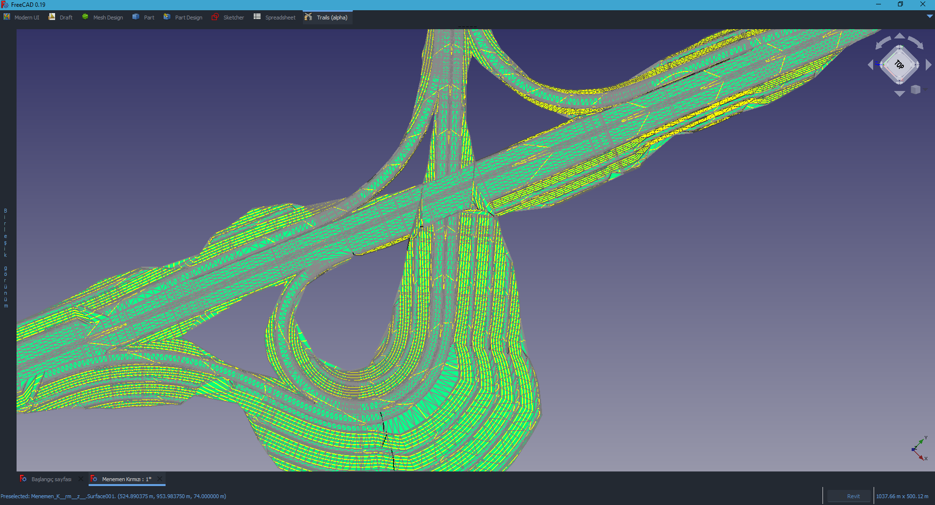
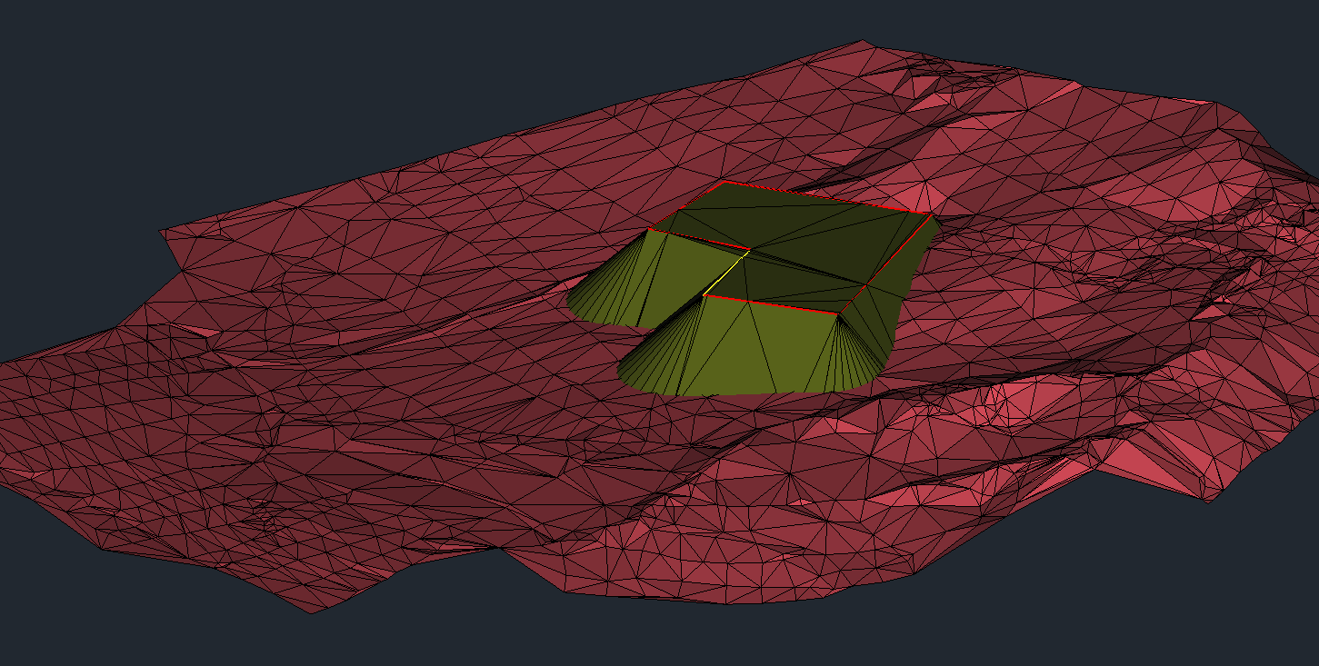
- Create Surface
- Edit Surface
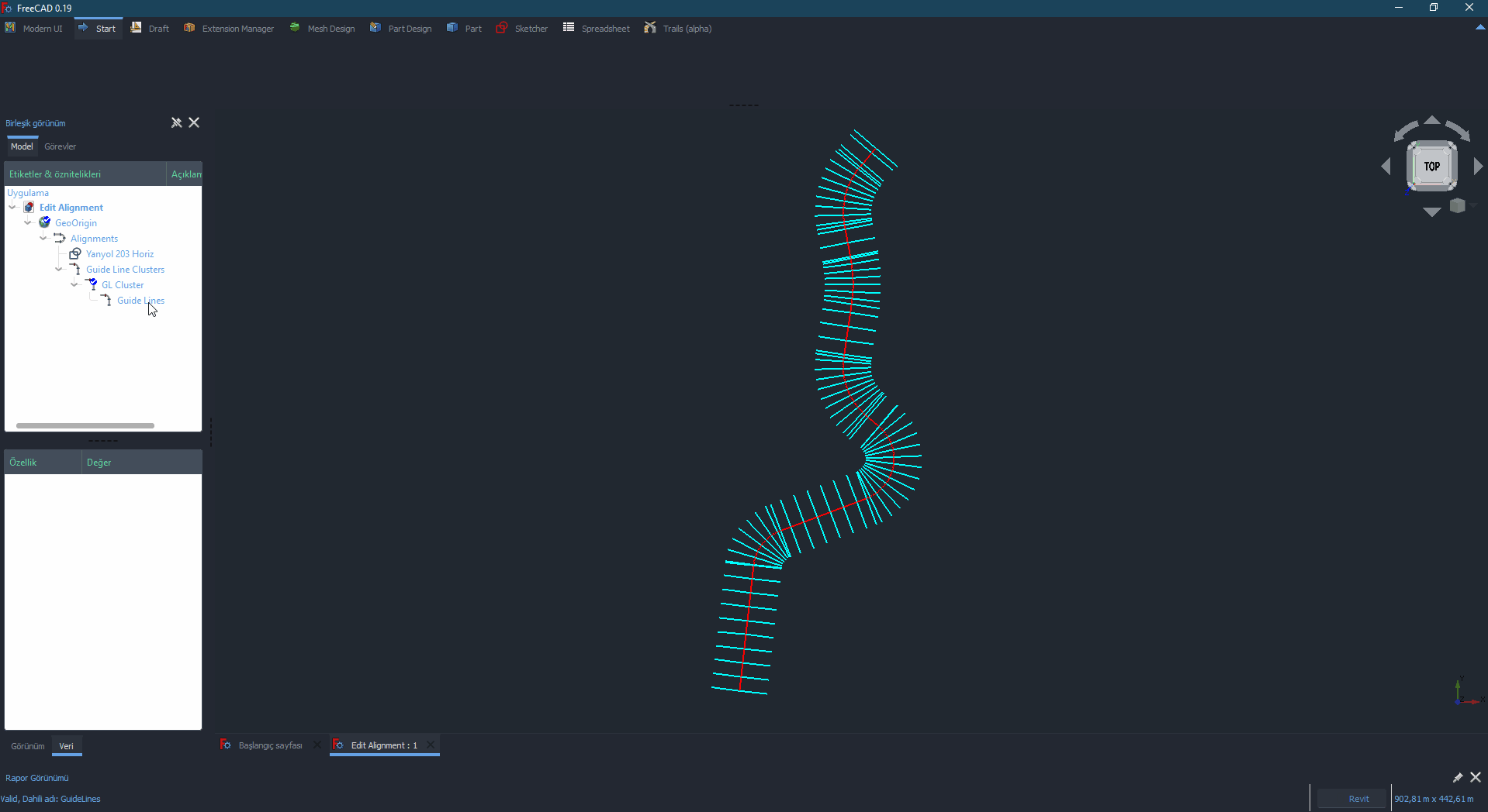
- Create Regions
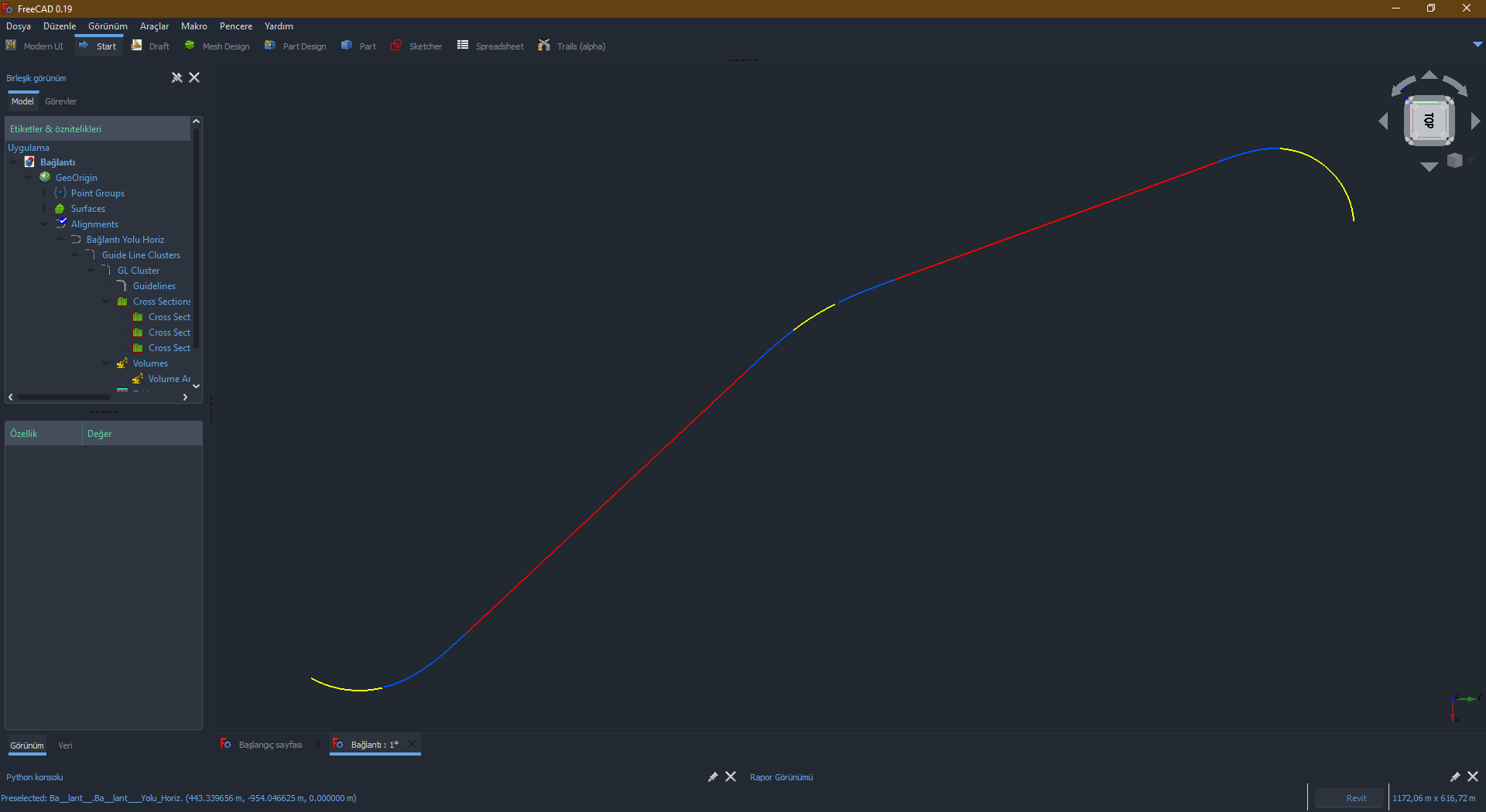
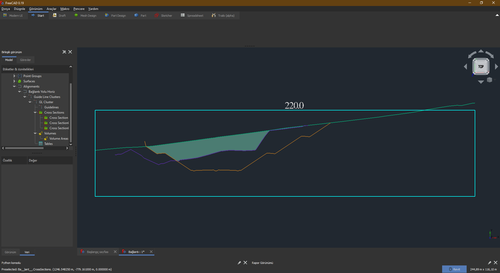
- Create Sections
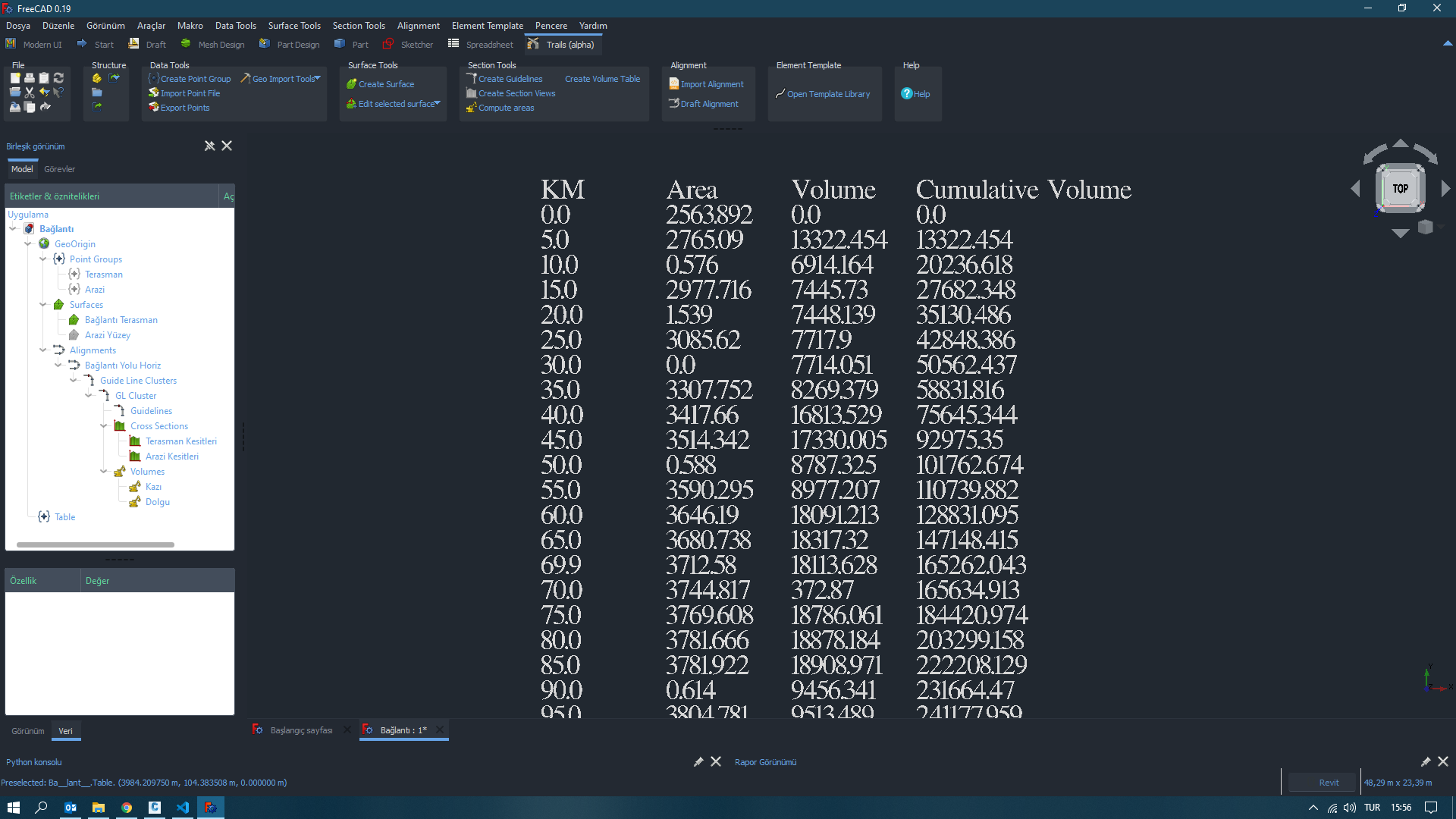
- Calculate Volume Areas
- Create Volume Tables
- Create Building Pads
- Import Alignment LandXML files.
Go to releases: https://github.com/joelgraff/freecad.trails/releases
Download and extract the ZIP file into the .FreeCAD/Mod folder.
Note: This releases are not up to date. So maybe you can't find the newly added features.
FreeCAD-Trails depends on the [pivy_trackers 2D geometry library] https://github.com/joelgraff/pivy_trackers and my own [FreeCAD_python_support] https://github.com/joelgraff/freecad_python_support repo to run. Pivy_trackers provides low-level 2D rendering support through Python for FreeCAD. FreeCAD_python_support is a collection of python support functions. Both are included in the FreeCAD Trails project as submodules.
In order to clone the repo with the complete supporting submodules, invoke git from the /Mod folder at the commandline as follows:
git clone --recursive https://github.com/joelgraff/freecad.trails.git
Get help: FreeCAD Trails Workbench (Transportation and Geomatics)
Discuss this Workbench on the FreeCAD forum thread dedicated to this topic: Civil engineering feature implementation (Transportation Engineering).
FYI, this thread was born of a parent thread: Civil Engineering Design functions
Joel Graff (@joelgraff) and Hakan Seven (@HakanSeven12) with inspiration and help from the FreeCAD community