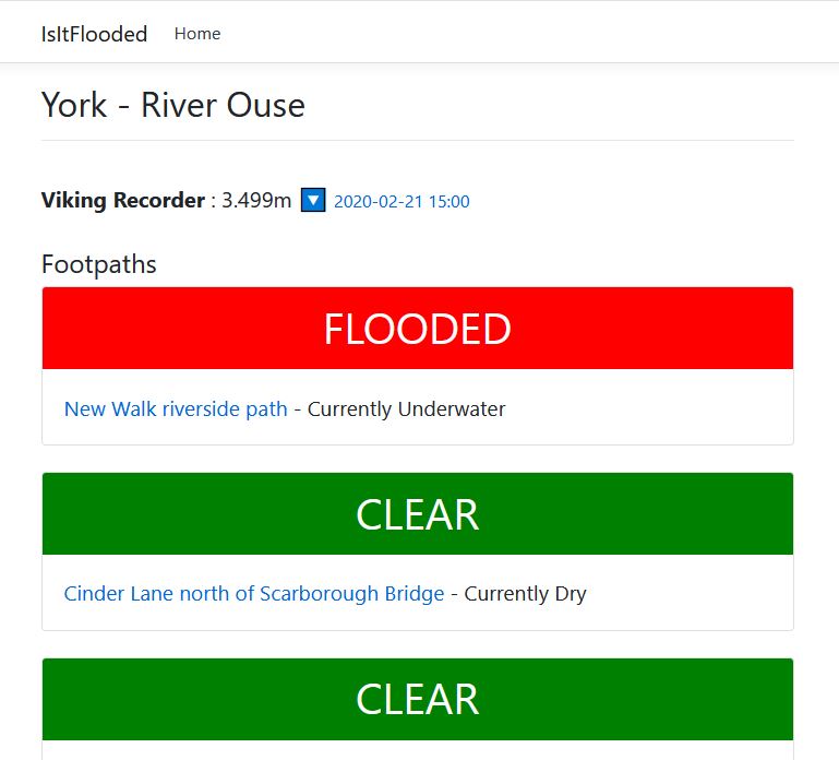
An open source project to identify when walking and cycle routes that are prone to flooding are actually under water. Uses the open data provided by the Environment Agency compared with user submitted data to detect when a route may be under water.
To add new Footpaths or new locations create an issue and state the relevant information. Or submit a PR with the modified json config with the relevent information.