Open Cloud Optimized GeoTiffs in C# Console Library
After researching some solutions, mostly in Python or using GDAL (QGis/ArcGis) I worked to build this first working version.
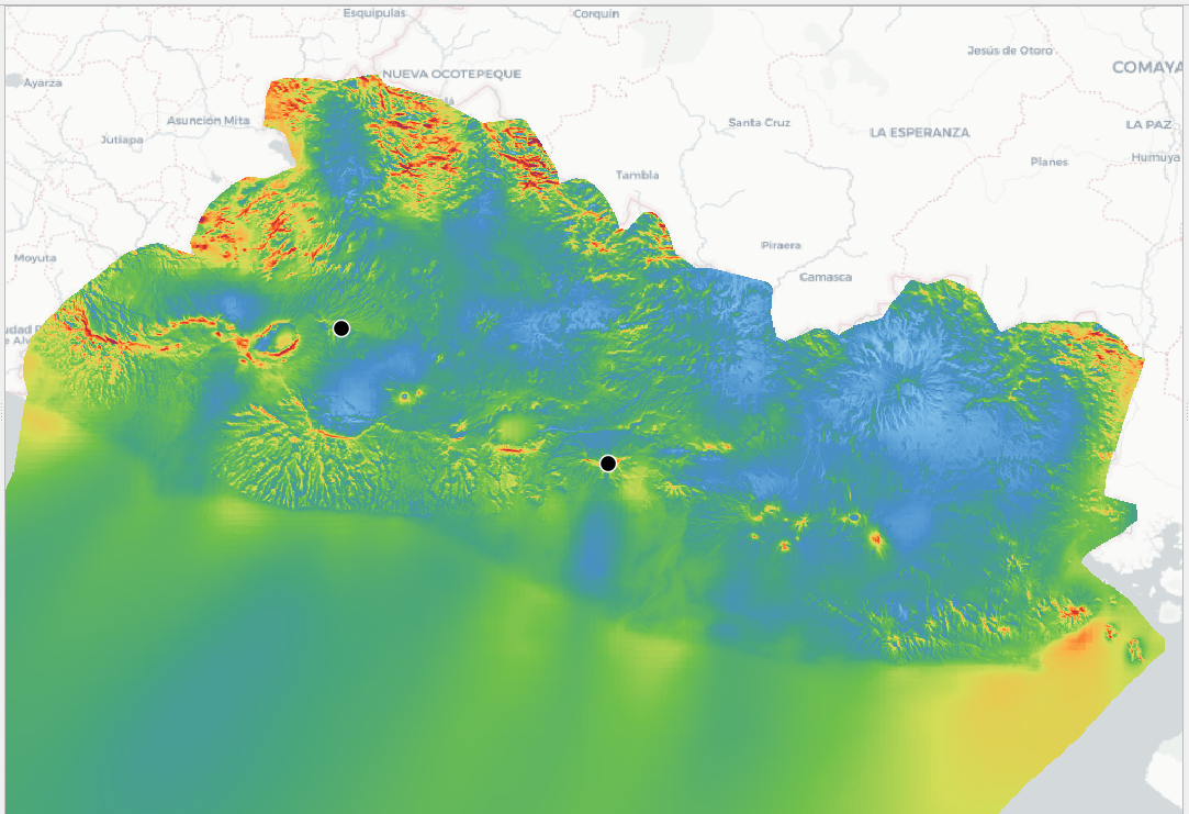
The idea is to access GeoTiff (local or COG) and return the corresponding value given a latitude/longitude.
      GeoTiff geoTiff = new GeoTiff(new Uri(url), directoryTemp);

      double value = geoTiff.GetElevationAtLatLon(latitude, longitude);
As an example, url_COG + expected result. This same Tiff is in the Sample directory, it can be accessed locally.
 https://globalwindatlas.info/api/gis/country/SLV/wind-speed/50

 Latitude::  13.88427
 Longitude:  -89.42231
 Value:    3.6284714

 Latitude:   13.59475;
 Longitude: -88.84668;
 Value:    8.6823205947876
 //Sample:
 Bottom-Left: 14.004, -89.572
 Upper-Right: 14.221, -89.227

Some project details: I used some best practices from the DEM.Net lib and as a base (used as reference) the BitMiracle/libtiff.net lib.
Feel free to download, modify and suggest changes (such as pull request).
Copyright © 2022 Fabricio Rodrigues Released under the MIT license.