Dem2mesh #904
Dem2mesh #904
Conversation
|
Future areas of improvement / research include DSM filtering and adding multi-threaded support. |
|
Agree on the separate repo — this is something that might help with other projects and will be harder to find and use if buried in ODM. I’ll check this out on Monday. This is very exciting. |
|
I am liking this improvement a lot. What are the new flags and do we need a synchronized update to https://github.com/OpenDroneMap/docs? |
|
I'm not sure if this is a regression or an issue that was already extant, but I rerun the dataset, it appears some steps are rerunning in spite of all the data being there: |
Also, we should probably implement the version suggestions in this conversation. |
|
No new flags since 0.4.0, but the docs haven't been updated since 0.3.1, so yes we should update them. odm_georeferencing needs to be re-run if the mesh changes. I think it's always been that way. The point cloud doesn't change (that could be improved), but the mesh (and all subsequent steps that depend on it) do. |
|
Current master: This branch:
|


|
Current master: This branch:
Not much improvement. |


|
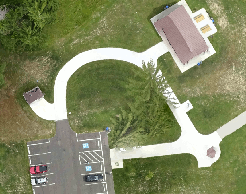
Current master: This branch:
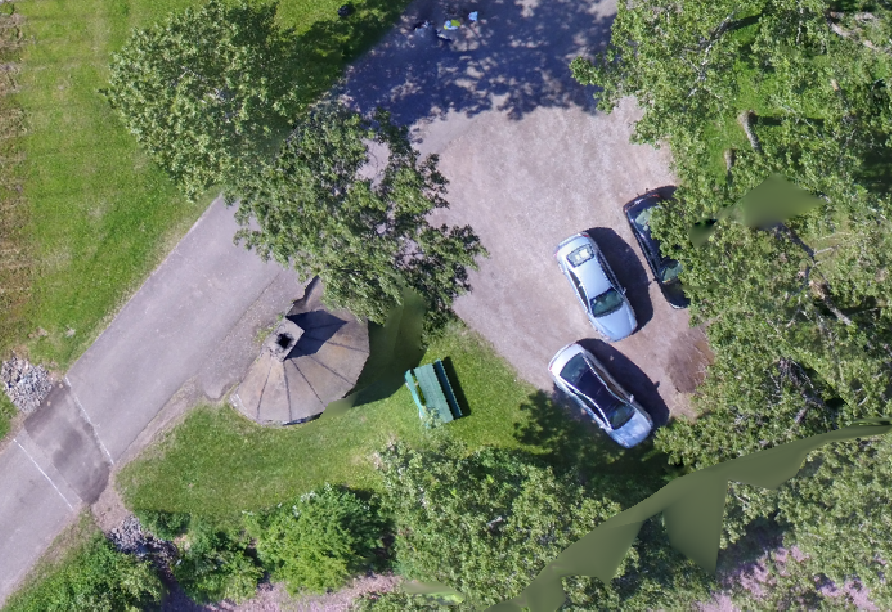
Hey that was a car? |


|
Current master: This branch:
|


|
Current master: This branch:
|


|
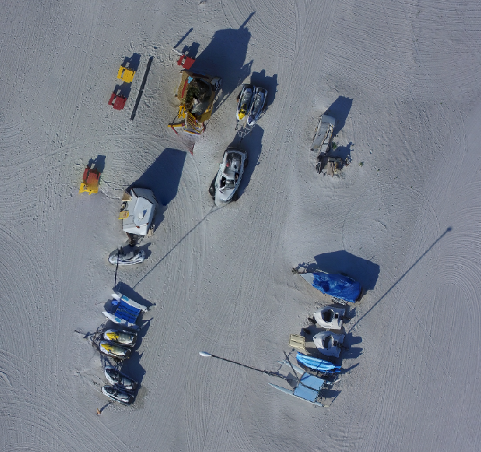
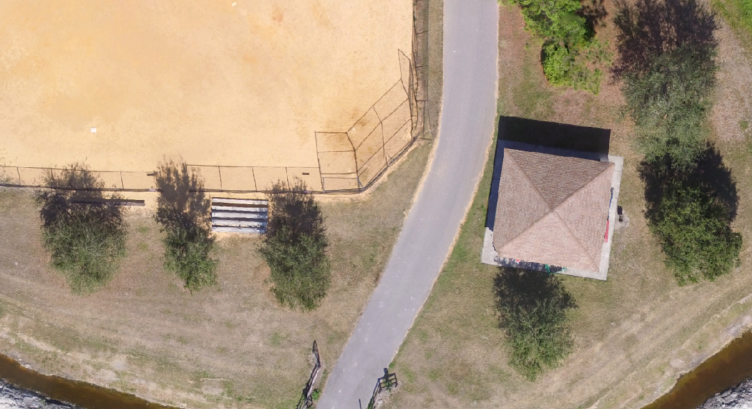
Current master: This branch:
Not much difference. |

|
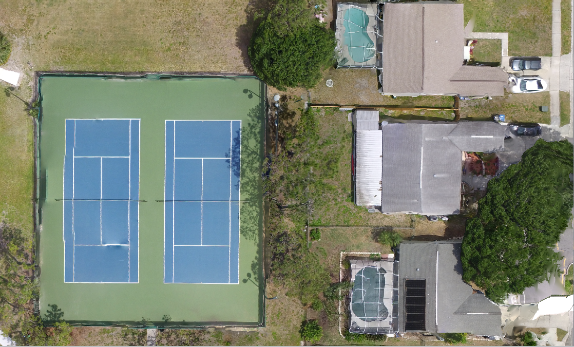
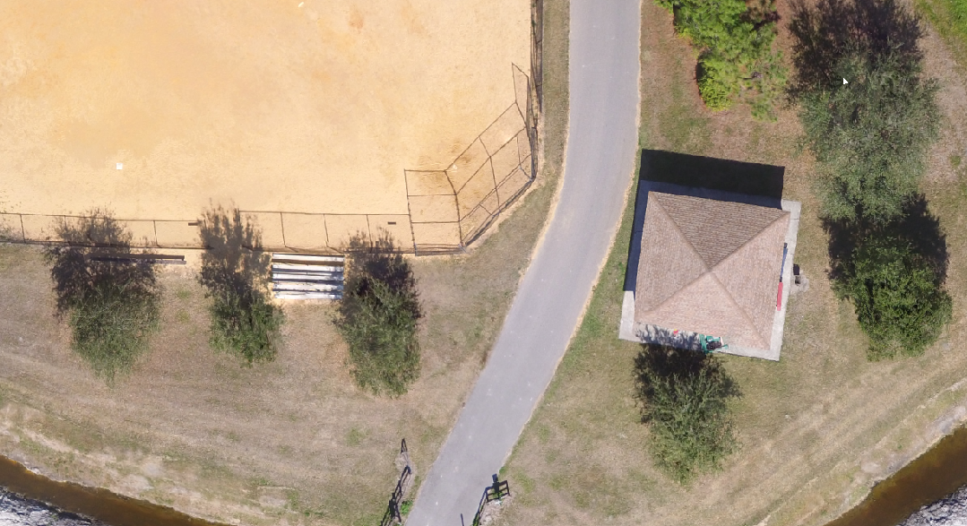
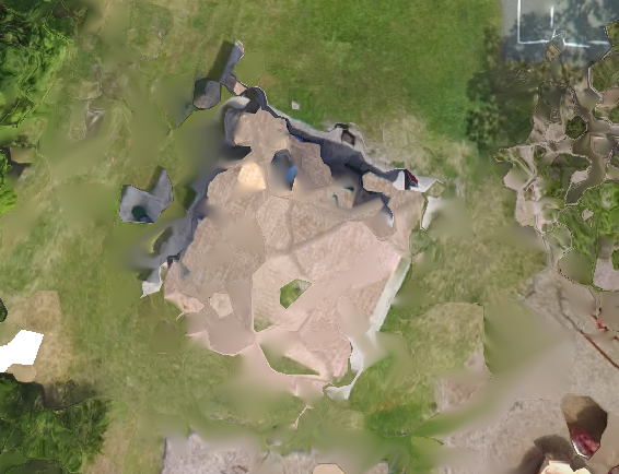
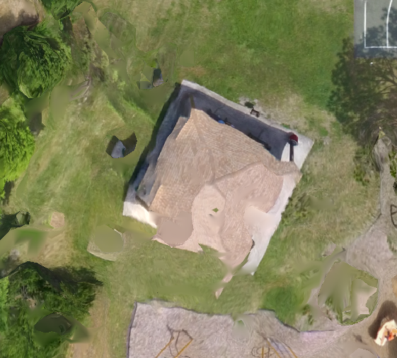
Current master: This branch:
Not much difference, a bit straighter edges on rooftop. |


|
One downside is currently that almost all
The current approach has distortion as well, but in lesser amounts.
I will modify the branch to retain the current approach to meshing for --fast-orthophoto. |
|
Yes, I wondered what the effect on fast ortho would be. You should add the Zanzibar city example to this series is you can. It makes subtle but important differences. |
|
If I get a chance to add it I will, but I might need a tip on your favorite gif maker. I’d hate to include and example without that wonderful addition. :D |
|
It's just GIMP.
|
|
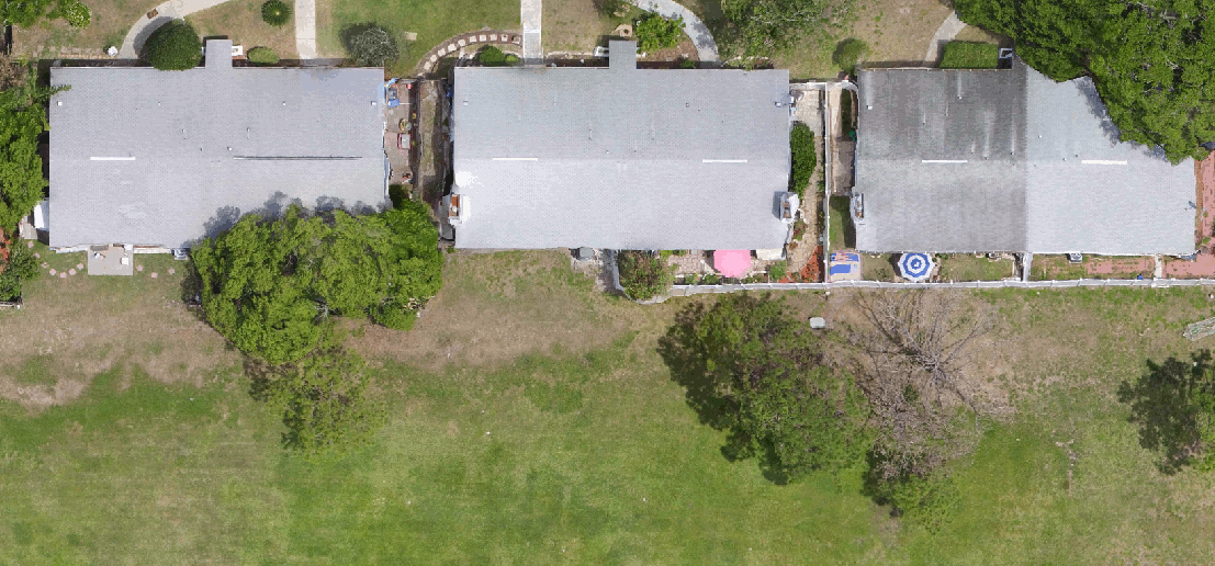
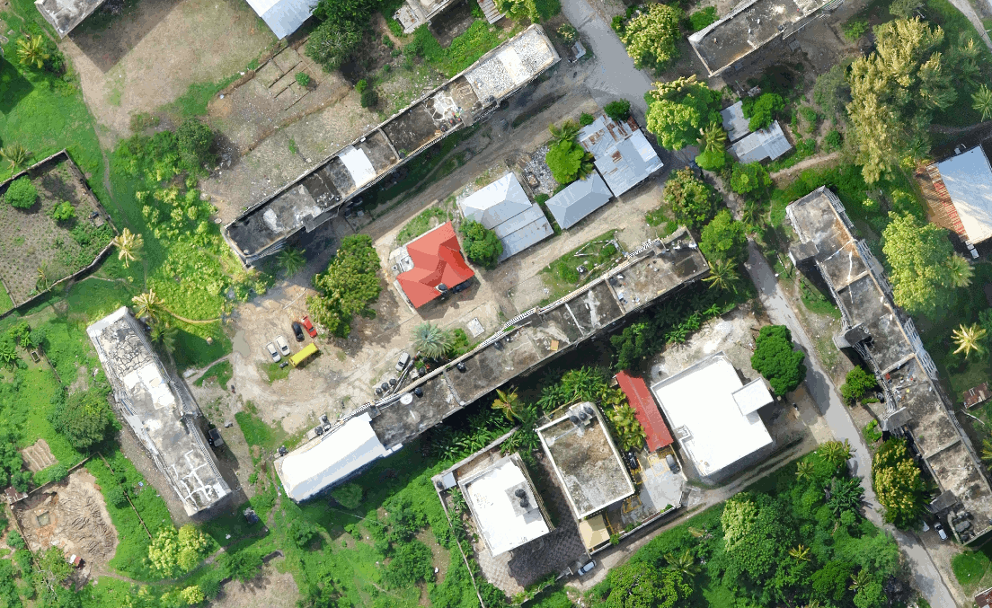
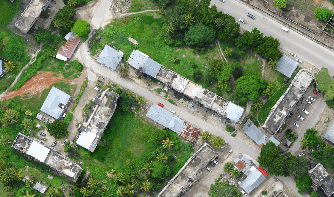
Current master: This branch:
More defined buildings |


|
Current master: This branch:
More defined buildings |


|
Current master: This branch:
Not much difference, perhaps better orthogonality in this branch. |


|
Hoping to merge this in sometimes next week unless problems are discovered, or there's feedback of any kind to improve the code. cc @dakotabenjamin |
|
w00t! |
Dem2mesh

Former-commit-id: ee53533
Dem2mesh

Former-commit-id: ee53533
This is a series of changes that replace
odm_dsm2pointsand the call toPoissonRecon, which is the current approach to 2.5D meshing, with a new program,odm_dsm2mesh, which uses a gridded + quadratic simplification tiled approach to meshing.The approach creates higher fidelity meshes from a DSM, keeps the memory usage linear via tile splitting (the mesh is split into tiles before triangulation and each tile is processed independently, then merged at the end), creates good sized triangles (important for texturing) and is reasonably fast.
I will post screenshots of orthophotos for comparison to the current method in the next several days, but I thought I'd ask for early feedback and some help with testing.
Given the novelty of the method, I was also thinking of publishing the
odm_dsm2meshprogram in a separate repository and pull it into the ODM build process. Let me know your thoughts about that. 😄