drawing/map/tool
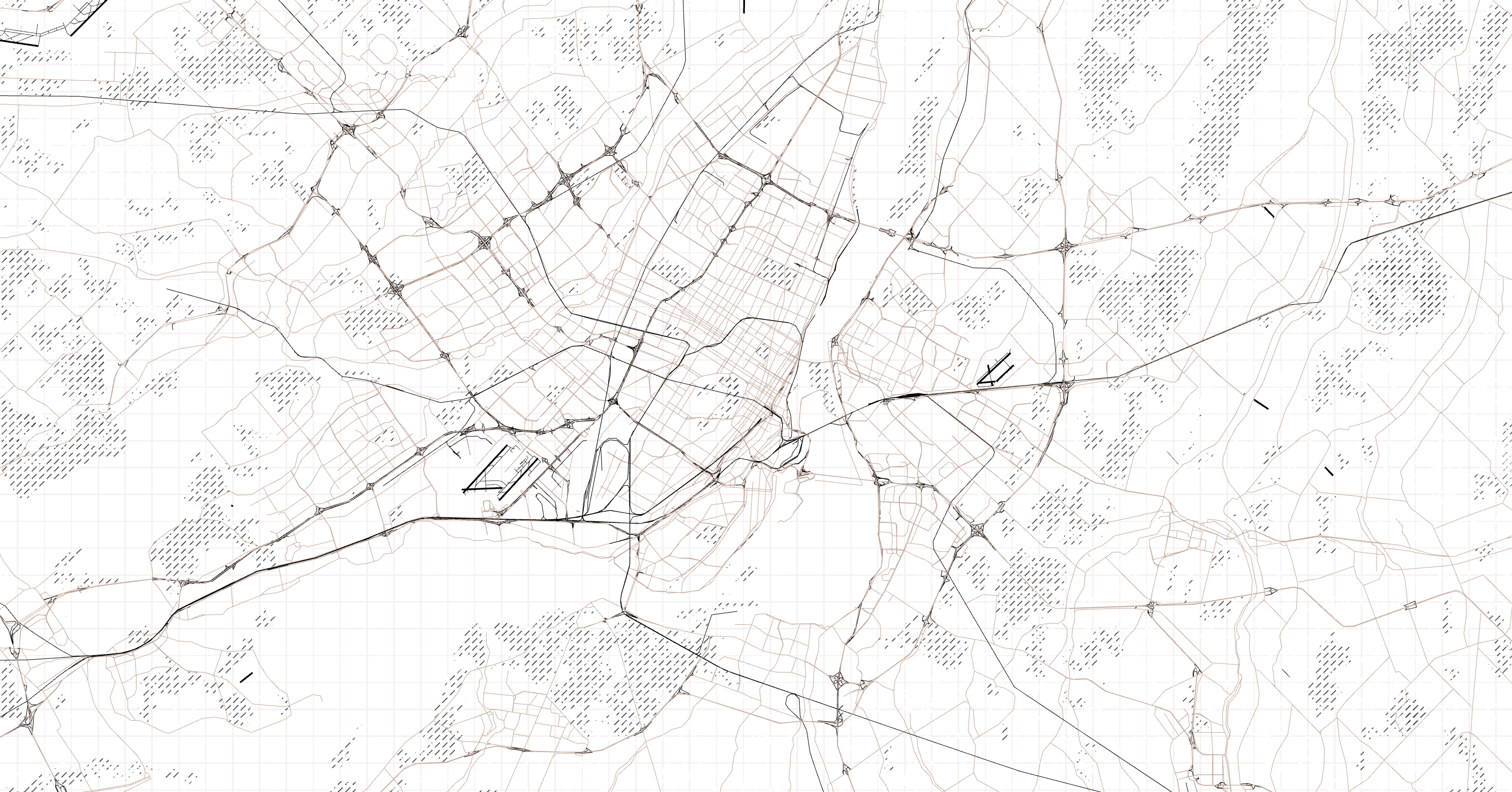
Morphology is both a map and tool created for the study of forms in cartography. It is an exploration of form through the medium of lines. Forms can be viewed in isolation. The following forms available for view currently are airports, bridges, buildings, canals, city walls, earth, farms, green areas, industrial areas, libraries, links, parking, piers, places of worship, quarries, racetracks, rail, roads, schools, ski, tunnels and water. A few combinations are available as well, such as bridges + water, canals + water. A labels only view is also available. Specific locations of isolated forms are bookmarked for your use. See an empty map? Some forms start at later zoom levels which is indicated in the drop down, or simply go back to the default morphology view to see where you are located.
Morphology is created by Geraldine Sarmiento.
Presented at the 2017 NACIS Conference in Montréal. Learn more about Morphology at the Mapzen blog.
Special thanks to Nathaniel Vaughn Kelso and Hanbyul Jo.