This project shows how to use Python to create both interactive and static maps of Latin Rite Catholic dioceses, provinces, and cathedrals within the United States.
The mapping script (along with additional documentation) can be found here. (If you receive a message from GitHub saying that "the notebook took too long to render", you can also access a copy of the documentation in HTML format here.)
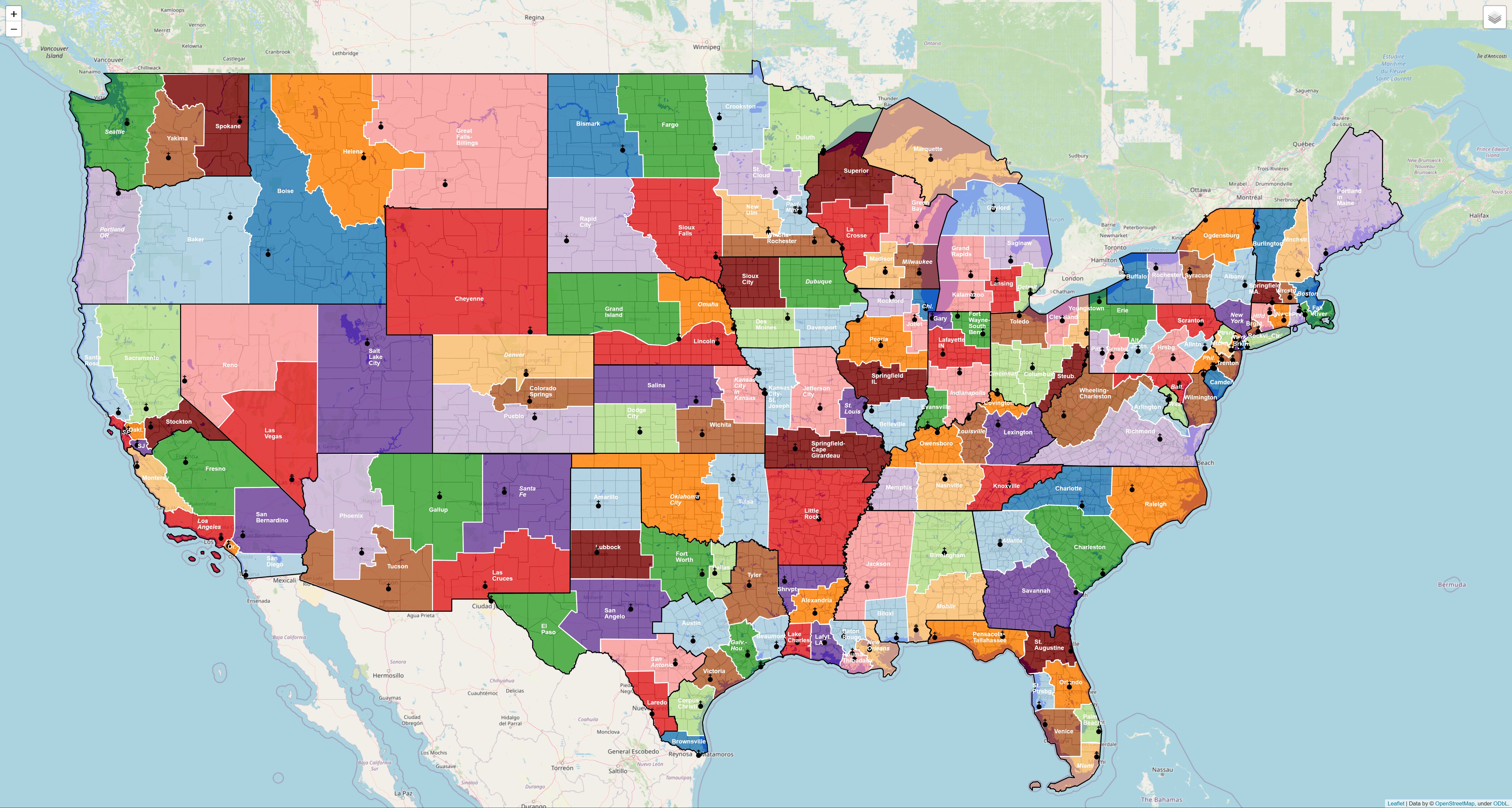
The interactive diocese map can be found here. Here are some examples of the interactive map in action:
Hovering over counties to access additional data:
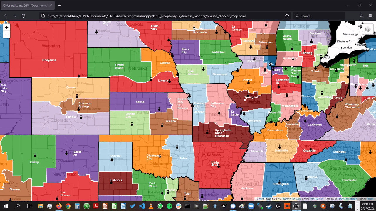
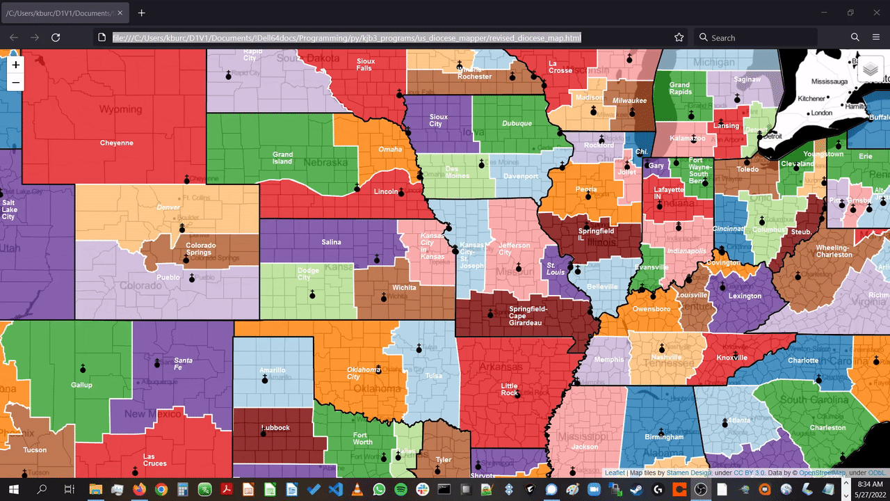
Turning map features on and off:
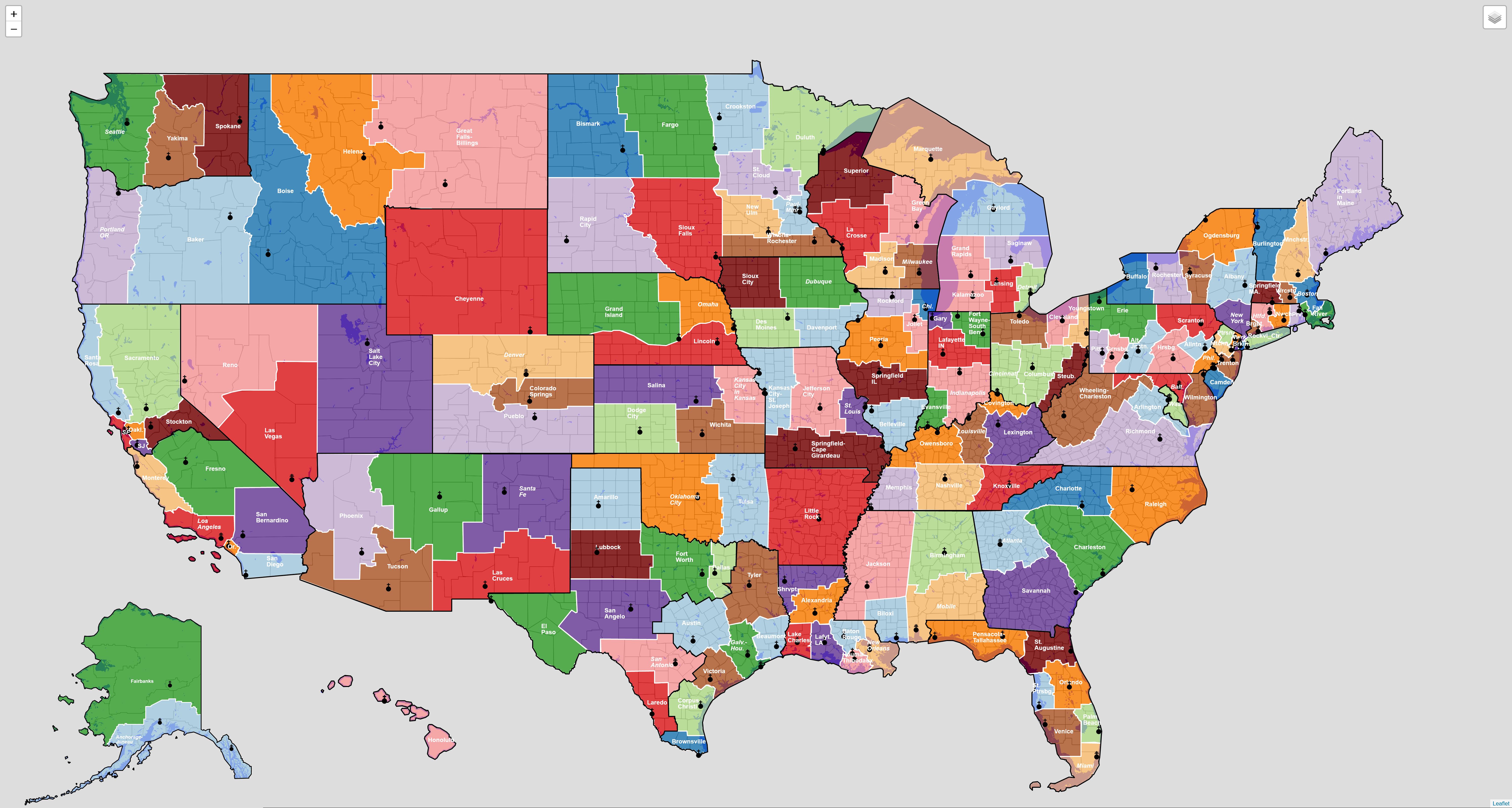
The mapping script also generates static maps. Here's a tileless version of the map that also includes Alaska and Hawaii:
And here's a version of the map showing the lower 48 states with Stamen Toner tiles in the background: