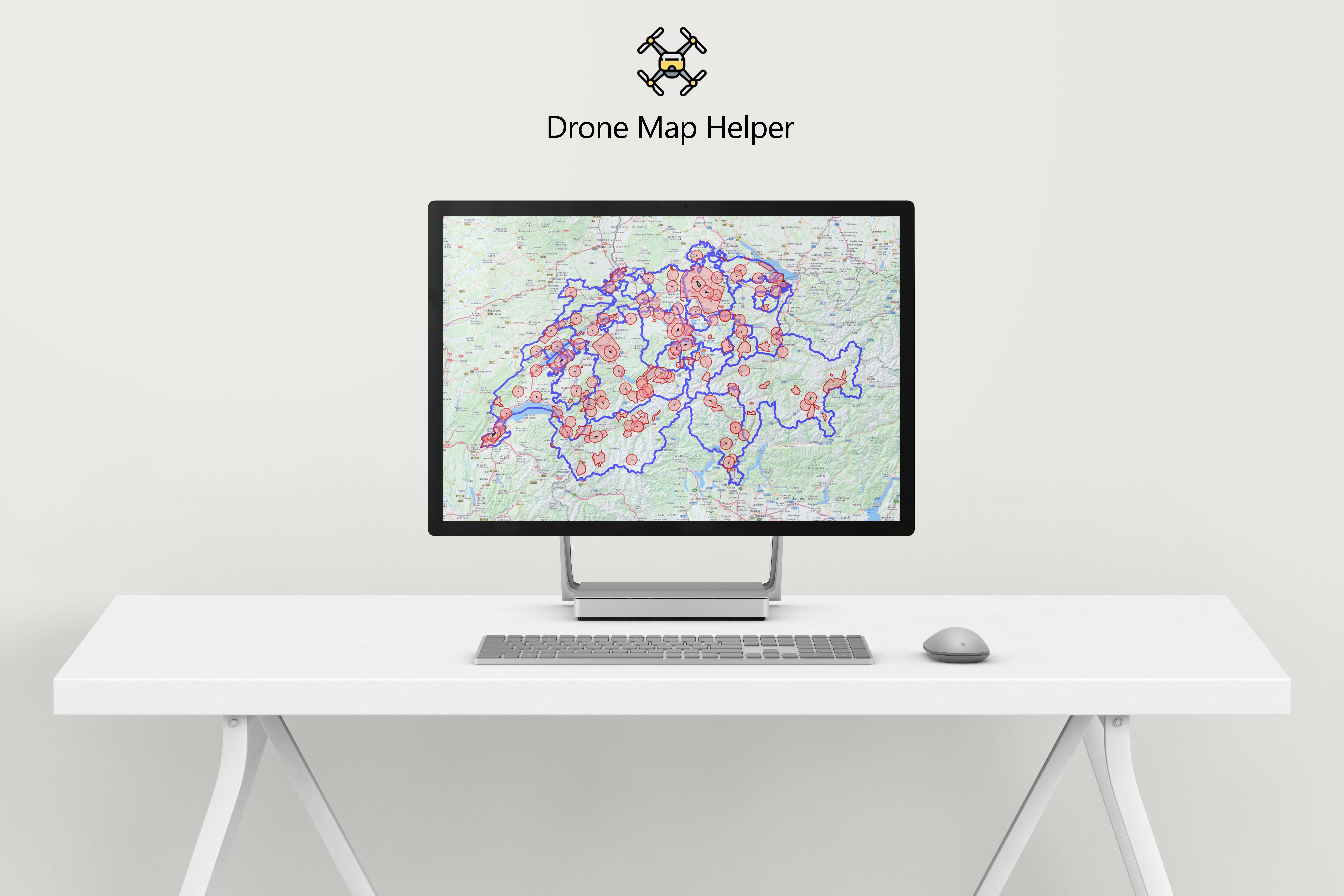
- Geography information application (also known as GeoInf)
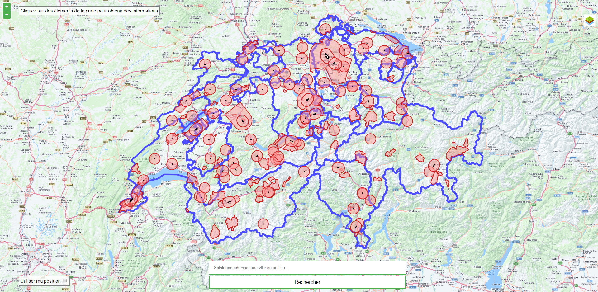
The idea behind this application is to differentiate the different areas where it is allowed to fly his drone areas where it is prohibited.
Reliable data from the Swiss Confederation are used, as well as live weather data, to enhance and better organize your next flights.
This app was developped during the GeoInf course at the HEIG-VD school of Yverdon-les-Bains. While all comments in this code and ReadMe are in english, the content is displayed in french exclusively.
You can click here to preview the app directly in your browser with GitHub Pages or here on my mirror/backup website.
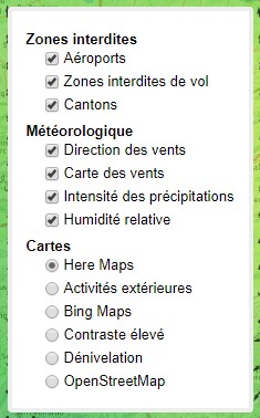
Here Maps is the default map for this app.
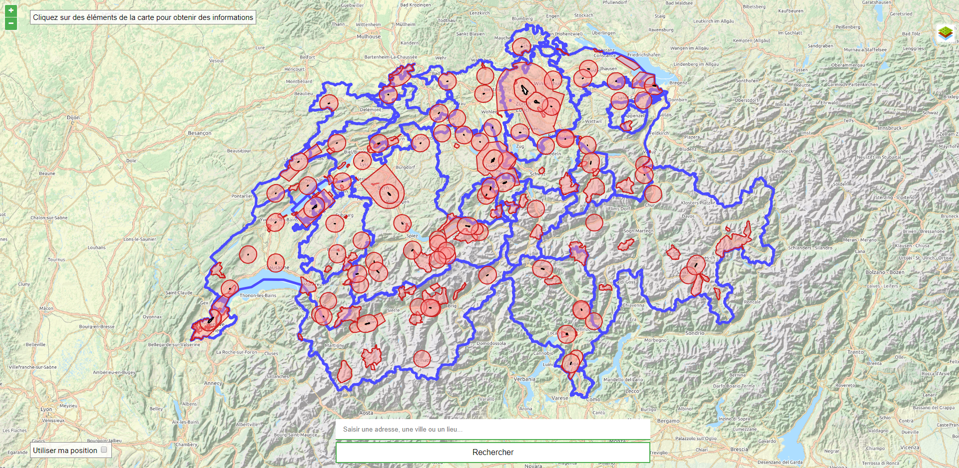
Outdoor activities is a map that contains all outdoors activities, perfect if you plan to go hiking for example, and you want to explore the best hiking trails and film them with your drone.
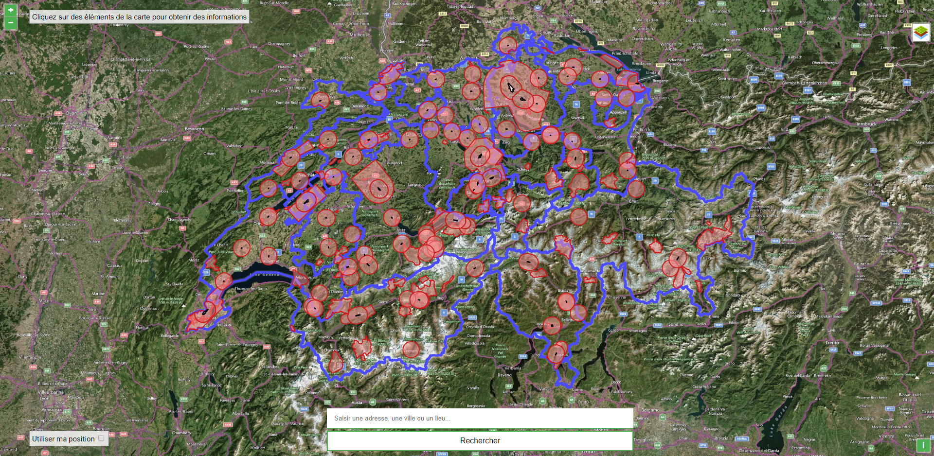
Bing Maps is used to display a satellite view of Switzerland. This map is very useful to help you find your way around with the various visual elements surrounding you.
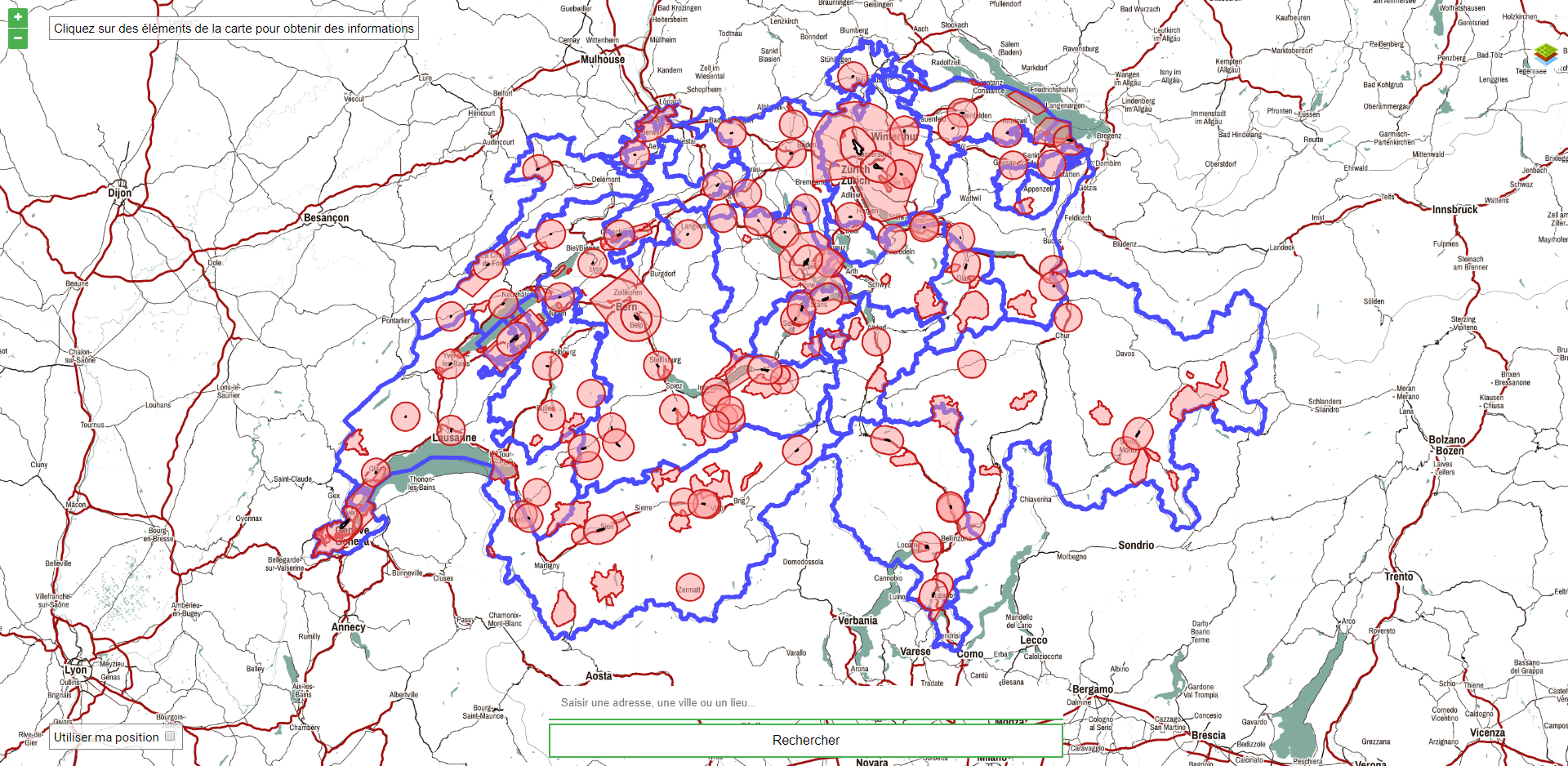
High contrast is a map that is highly readable outside in a sunny place.
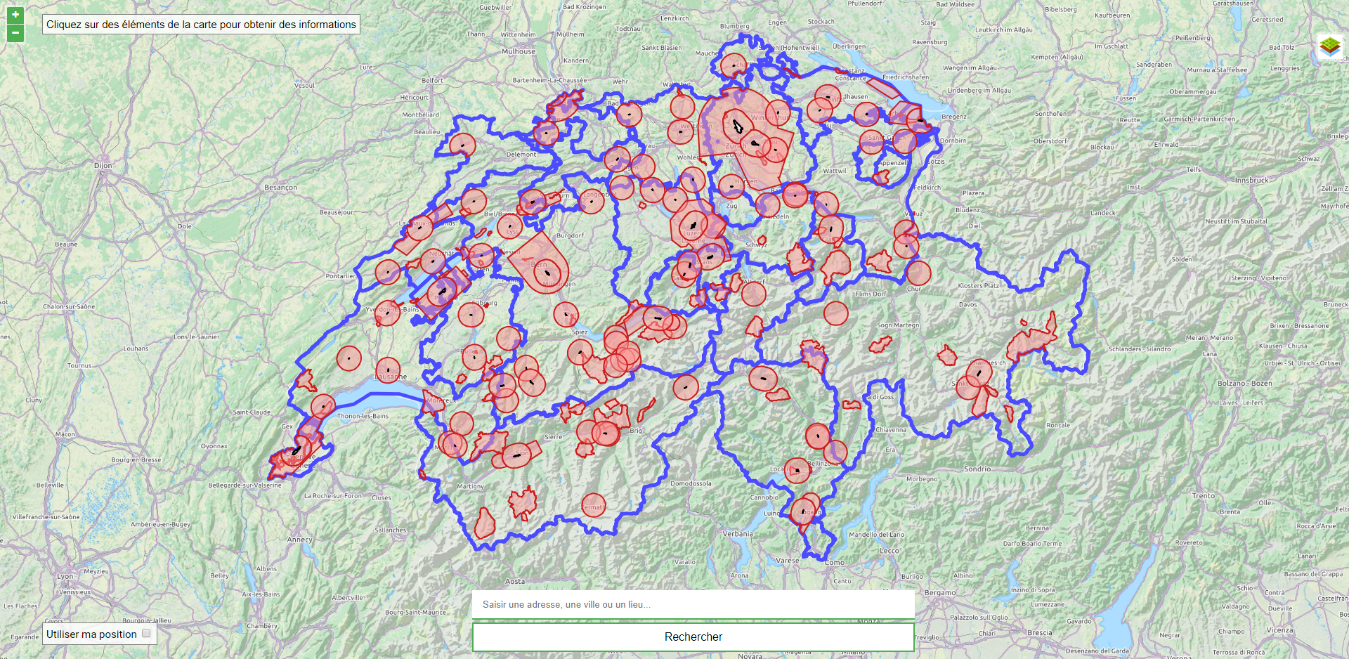
Slope map is useful if you plan to go in the mountains. This map contains the elevation marking.
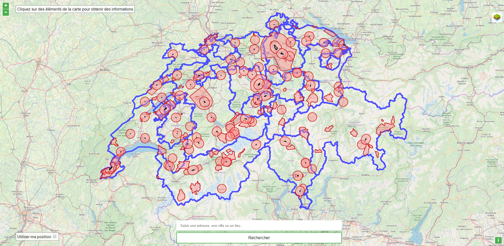
OpenStreetMap is an alternative to the other maps and has a more flat appearance.
-
Prohibited areas
- Airports
- Prohibited areas
- Townships
-
Meteorological
- Wind direction (Live data)
- Winds map (Statistics from the Swiss Confederation)
- Intensity of rainfall (Live data)
- Relative humidity (Live data)
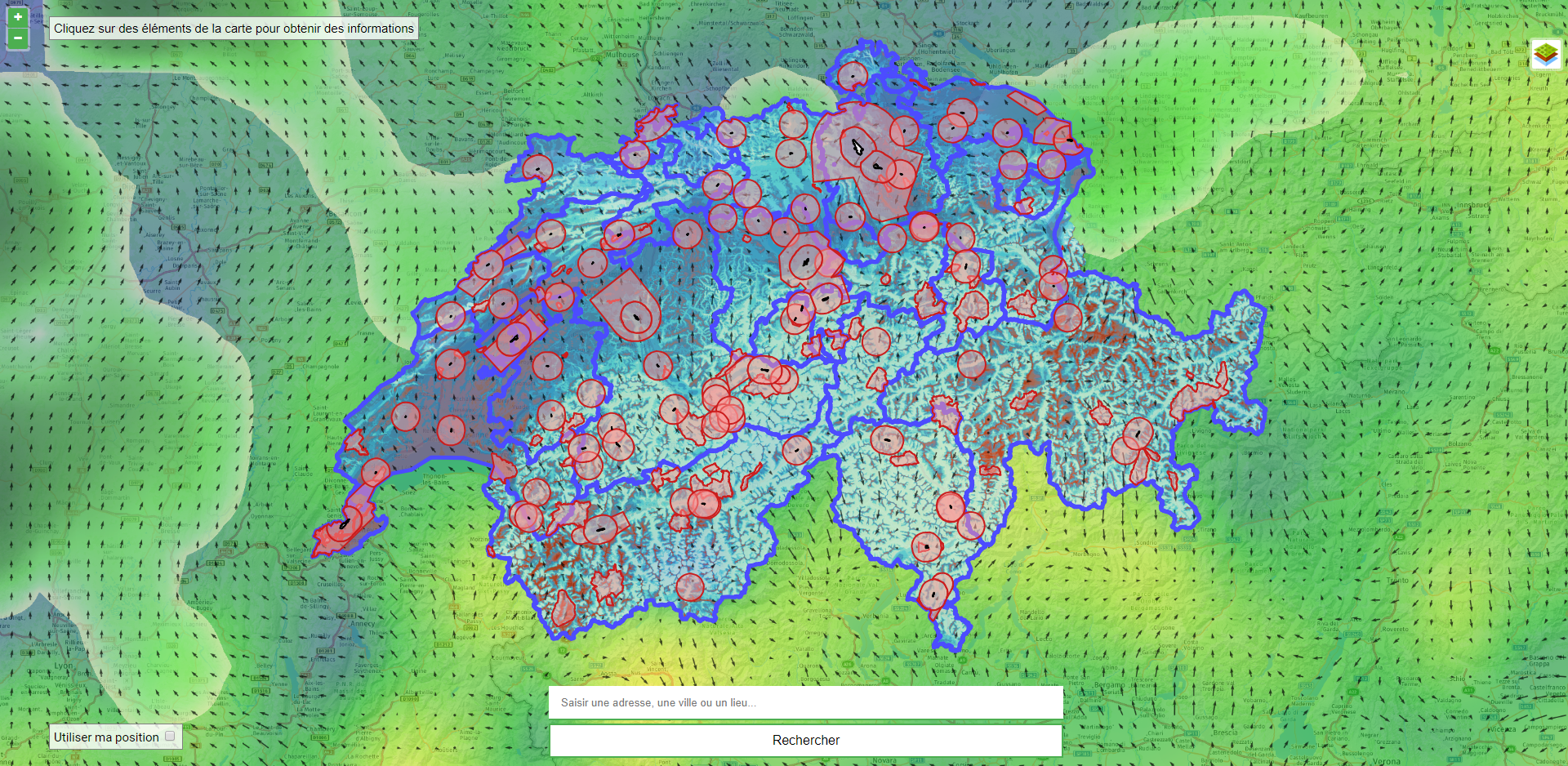
Here is a view with all the possible layers activated:
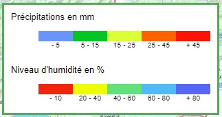
In addition to the layers, you can display two legends. These legends make it possible to better interpret the "Relative humidity" and "Precipitation intensity" layers.
In order to offer the best user experience possible, some data are stored on external services. Thoses services, such as Swiss Confederation's Web Map Tiling Services (or WMTS) and CartoDB Services.
Here is a list of all the tiles, their source and file format:
| Tile name | Source | File format | API URL |
|---|---|---|---|
| Here Maps | Here Maps API | png | https://developer.here.com/documentation |
| Activités extérieures | Swiss Confederation's WMTS | png | https://api3.geo.admin.ch/api/doc.html |
| Bing Maps | Bing Maps API | jpeg | https://docs.microsoft.com/en-us/bingmaps/ |
| Contraste élevé | Thunderforest API | png | https://www.thunderforest.com/docs/map-tiles-api/ |
| Dénivelation | Thunderforest API | png | https://www.thunderforest.com/docs/map-tiles-api/ |
| OpenStreetMap | OpenStreetMap API | png | https://wiki.openstreetmap.org/wiki/OpenLayers |
Here is a list of all the layers, their source and file format:
| Layer name | Source | File format | URL |
|---|---|---|---|
| Aéroports | CartoDB | GeoJSON | https://carto.com/developers/data-services-api/reference/ |
| Zones interdites de vol | CartoDB | GeoJSON | https://carto.com/developers/data-services-api/reference/ |
| Cantons | CartoDB | GeoJSON | https://carto.com/developers/data-services-api/reference/ |
| Carte des vents | Swiss Confederation's WMS | png | https://api3.geo.admin.ch/api/faq/index.html |
| Intensité des précipitations | OpenWeatherMap | png | https://openweathermap.org/api/weather-map-2 |
| Humidité relative | OpenWeatherMap | png | https://openweathermap.org/api/weather-map-2 |
| Service name | Use | Source | URL |
|---|---|---|---|
| Geocoder | Service used for the searchbox | Nominatim | https://wiki.openstreetmap.org/wiki/Nominatim |
| Reverse Geocoder | Used to get the adress when the user click on the map | Nominatim | https://wiki.openstreetmap.org/wiki/Nominatim |
| Geolocation | Location of the user's current position | OpenLayers Geolocation API | https://openlayers.org/en/latest/apidoc/module-ol_Geolocation-Geolocation.html |
Download a copy of this repository here and unzip the folder.
In order to run this app locally on your computer, you'll need WAMP (or equivalent). You can download WAMP here if you're on a PC and MAMP here if you're on Mac OS
During the programming and tests, this is the version of WAMP and dependencies used:
| Dependencies | Version used |
|---|---|
| WAMP for PC | 3.1.0 |
| Apache | 2.4.27 |
| phpMyAdmin | 4.7.4 |
| MySQL | 5.7.19 |
| MariaDB | 10.2.8 |
- Locate the
wwwfolder of WAMP on your computer. By default, the folder is located atC:\wamp\www\ - Paste the
geoinf-app-masterfolder here - Them you can launch WAMP
- Open
localhost/geoinf-app-masterin your favorite browser.
- Locate the
htdocsfolder of WAMP on your computer. By default, the folder is located at/Applications/MAMP/htdocs - Paste the
geoinf-app-masterfolder here - Them you can launch WAMP
- Open
localhost/geoinf-app-masterin your favorite browser.
In order to use this app and all resources, you'll need to provide your own API keys. You can find all the API keys you need here:
/api/api.sample.js
Replace every YOUR_API_KEY with your own API keys. Then, just paste this line in the index.html file:
<script src="api/api.sample.js"></script>at the end of the HTML file, juste before the </body> tag.
If you find a bug, or have a suggestion on how to improve this code, do not hesitate to open an issue on GitHub, you can find a template for:
