
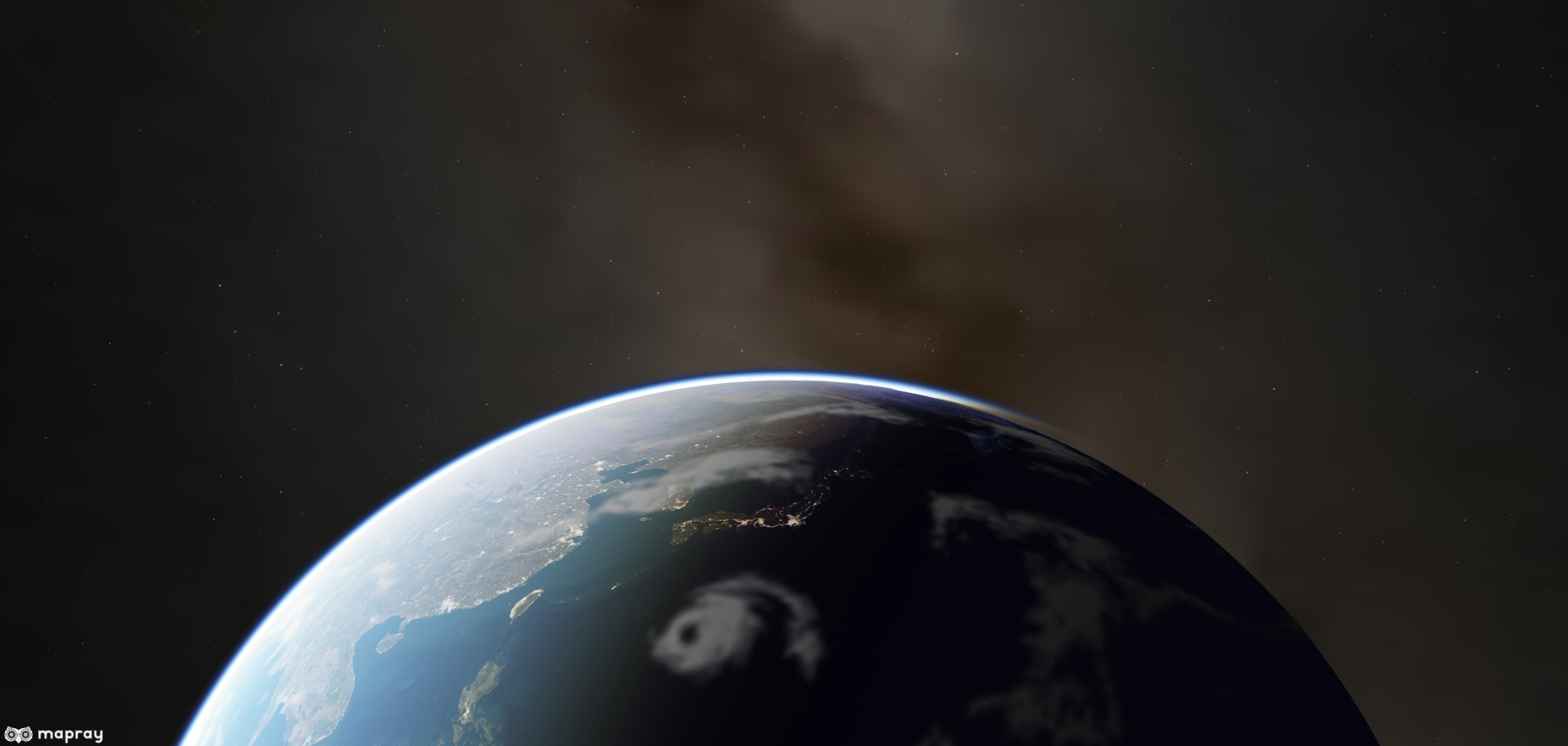
maprayJS is a JavaScript library for a high quality interactive 3D globes and digital twin on the web. It is based on WebGL. WebSite
<script src="https://resource.mapray.com/mapray-js/v0.9.4/mapray.min.js"></script> <script src="https://resource.mapray.com/mapray-js/v0.9.4/maprayui.min.js"></script>npm install --save @mapray/mapray-jsnpm install --save @mapray/uiWorld Terrain data hosted by Mapray Cloud platform. Access Token is required to access to Mapray Cloud, it is under Beta Test and you can join beta test for free if you meet the our requirements. The service web site of Mapray Cloud is here. Mapray Cloud managed by Sony Group Corporation. If you have any questions about the access token of mapray cloud or the services of mapray cloud, please contact us from the contact page.
<!DOCTYPE html>
<html>
<head>
    <meta charset="UTF-8">
    <title>Hello Globe</title>
    <link rel="stylesheet" href="https://resource.mapray.com/styles/v1/mapray.css">
</head>
<style>
    html, body {
        height: 100%;
        margin: 0;
    }
    div#mapray-container {
        display: flex;
        height: 100%;
    }
</style>
<body>
    <div id="mapray-container"></div>
</body>
</html>
<script src="https://resource.mapray.com/mapray-js/v0.9.4/mapray.min.js"></script>
<script>
     // Set Access Token for mapray cloud
       var accessToken = "<your access token here>";

       // For Image tiles
       var imageProvider = new mapray.StandardImageProvider( "https://cyberjapandata.gsi.go.jp/xyz/seamlessphoto/", ".jpg", 256, 0, 18 );

       // Create viewer
       var viewer = new mapray.Viewer(
           "mapray-container", {
               image_provider: imageProvider,
               dem_provider: new mapray.CloudDemProvider(accessToken)
           }
       );
       viewer.attribution_controller.addAttribution({
           display: "国土地理院",
           link: "http://maps.gsi.go.jp/development/ichiran.html"
        });
       // Setting the position of camera
       var home_pos = { longitude: 138.247739, latitude: 35.677604, height: 3000 };

       var home_view_geoPoint = new mapray.GeoPoint( home_pos.longitude, home_pos.latitude, home_pos.height );
       var home_view_to_gocs = home_view_geoPoint.getMlocsToGocsMatrix( mapray.GeoMath.createMatrix() );

       var cam_pos = mapray.GeoMath.createVector3( [-3000, 2600, 1000] );
       var cam_end_pos    = mapray.GeoMath.createVector3( [0, 0, 0] );
       var cam_up         = mapray.GeoMath.createVector3( [0, 0, 1] );

       var view_to_home = mapray.GeoMath.createMatrix();
       mapray.GeoMath.lookat_matrix(cam_pos, cam_end_pos, cam_up, view_to_home);

       var view_to_gocs = viewer.camera.view_to_gocs;
       mapray.GeoMath.mul_AA( home_view_to_gocs, view_to_home, view_to_gocs );

       viewer.camera.near = 30;
       viewer.camera.far = 500000;
</script>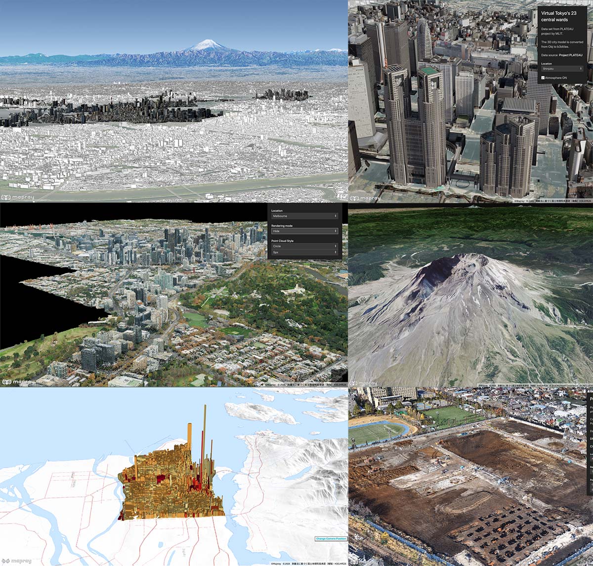
API documents
Execute the following command in the root directory.
npm run docmaprayJS is licensed under the Apache License Version 2.0. It also depends on open source software packages. For more information, see LICENSES.