This ArcPython toolbox calculates the demographically weighted service area for a given input of facility locations. It requires the Network Anaalyst and Spatial Analyst ArcGIS extensions.
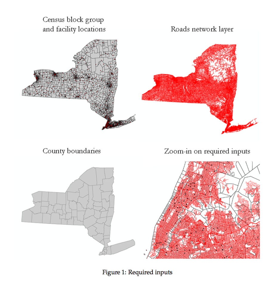
- Network layer of roads
- Feature class containing point location of facilities
- Service area radius (time or miles)
- Census block group shapefile
The workflow is as follows:
- Calculate service area using network analysis and a given distance threshold
- Dissolve service area borders within each census block group
- Calculate intersection between service area and census layer
- Calculate area of dissolved polygons within each census polygon
- Join area of dissolved polygons to census layer
- Calculate percent coverage of each census block group
- Extrapolate percent coverage to percent of demographic group served
- Optionally, extrapolate to larger census group
