BasemapGallery displays a collection of basemaps from ArcGIS Online, a user-defined portal, or a custom collection. When a basemap is selected from the gallery, the basemap used in the connected GeoModel is replaced.

Shows bookmarks, from a map, scene, or a list; navigates the associated MapView/SceneView when a bookmark is selected.
Shows a compass direction when the map is rotated. Auto-hides when the map points north up.

Displays and optionally allows editing of a single field attribute of a feature.
Browse floor-aware maps and scenes and filter the view to show levels in a facility.

A helper class for enabling easy adoption of Model-View-ViewModel (MVVM) patterns in ArcGIS Maps SDK for .NET applications.
Displays a legend for a map or scene view.

Allows measurement of distances and areas on the map view.

Displays an interactive inset map for a map or scene.

Display details and media, edit attributes, geometry and related records, and manage the attachments of features and graphics (popups are defined in the popup property of features and graphics).

Displays current scale reference.

Enables searching using one or more locators, with support for suggestions, automatic zooming, and custom search sources.

Renders a symbol in a control.

Allows interactively defining a temporal range (i.e. time extent) and animating time moving forward or backward. Can be used to manipulate the time extent in a MapView or SceneView.

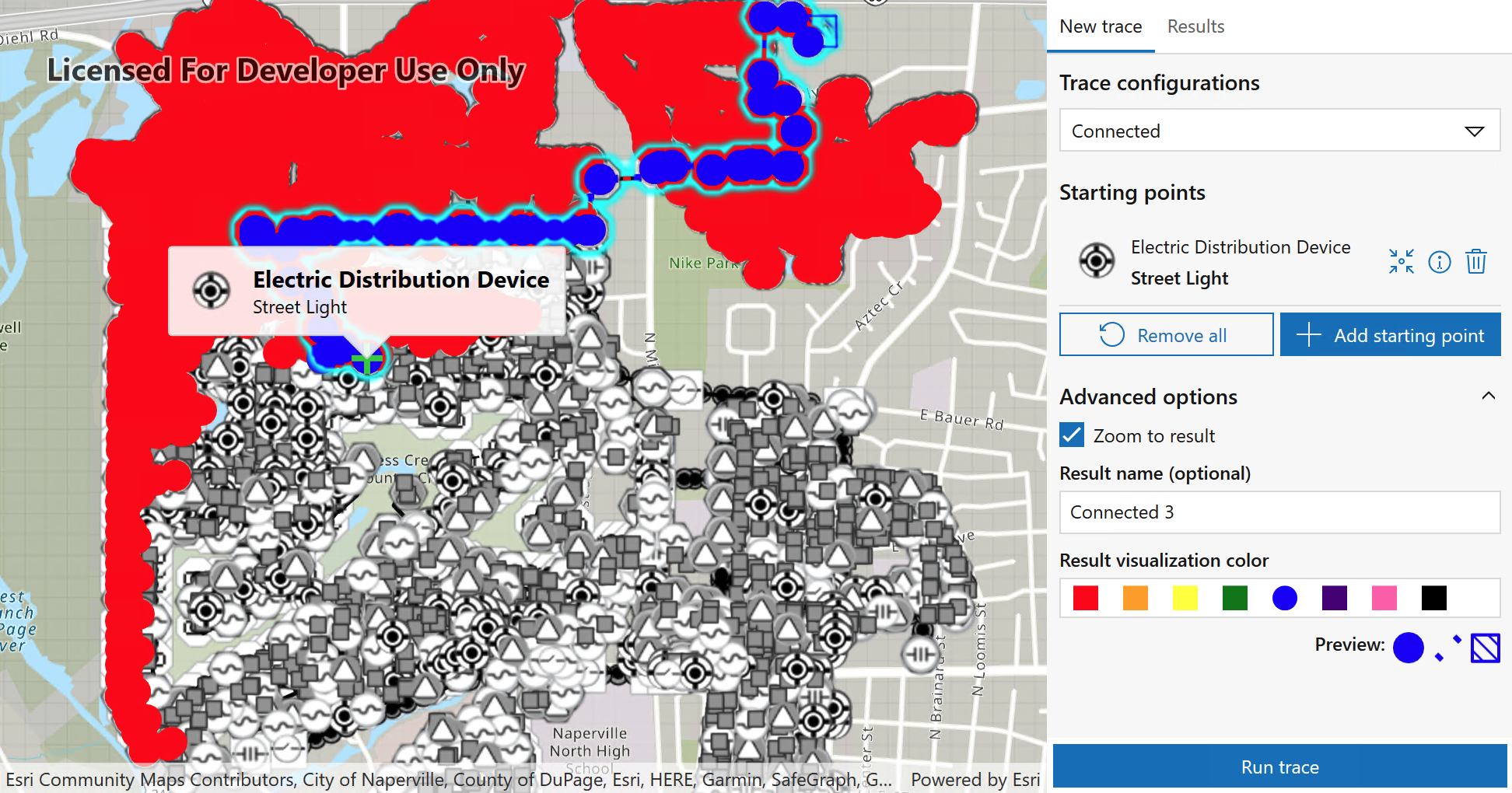
Use named trace configurations defined in a web map to perform connected trace operations and compare results.
| Component | UWP and WinUI | WPF | MAUI |
|---|---|---|---|
| BasemapGallery | ✔ | ✔ | ✔ |
| BookmarksView | ✔ | ✔ | ✔ |
| Compass | ✔ | ✔ | ✔ |
| FeatureDataField | ✔ | ✔ | ❌ |
| FloorFilter | ✔ | ✔ | ✔ |
| GeoViewController | ✔ | ✔ | ✔ |
| Legend | ✔ | ✔ | ✔ |
| MeasureToolbar | ✔ | ✔ | ❌ |
| OverviewMap | ✔ | ✔ | ✔ |
| PopupViewer | ✔ | ✔ | ❌ |
| ScaleLine | ✔ | ✔ | ✔ |
| SearchView | ✔ | ✔ | ✔ |
| SymbolDisplay | ✔ | ✔ | ✔ |
| TableOfContents | N/A | Preview | N/A |
| TimeSlider | ✔ | ✔ | ❌ |
| UtilityNetworkTraceTool | ✔ | ✔ | ✔ |